
Hempstead Neighbors and Block Sources
A neighbor is an adjacent parcel geometry or an explicitly documented block relationship, never a person inferred from a search result. The Nassau Land Records Viewer and county parcel layer establish the physical block. A directory, yearbook, census, or historic photograph can document a past association when its source and year are retained. Neither a parcel map nor a recorded deed proves present occupancy. Build the physical picture first, then decide whether an independent, dated record actually answers the historical question.
| Block source | What it can show about a block | Access route |
|---|---|---|
| ArcGIS parcel layer | Geometry, parcel address, PARCEL or PARID, and roll year | Queryable county data and map view |
| Nassau LRV | Parcel context, SBL, tax-map links, district details, and map location | Public viewer |
| Tax Map Division | Official map-copy and parcel-shape questions | County assessment route |
| Historic collection | A year-specific address or streetscape association | Library, archive, or historical source |
| Village directory | Official category and name starting point for community contacts | Village Directory |
A parcel that touches the starting lot is a reliable block-research fact. It is not evidence about a household. Keep a separate status beside every address, such as “adjacent parcel only” or “historical association, year stated,” so that the answer stays within what the source supports.
Hempstead Neighbors Start with Geometry
Use the map to define a compact group of parcels around one known address. LRV offers address search with Go and Clear controls and map layers for parcels and lots, aerial imagery, FEMA information, historic basemaps, measurement, and identify tools. The parcel layer supplies the shape; it does not supply a current-person conclusion. A map carries no warranty of title, and a deed is still needed when title proof matters.
The Nassau LRV parcel map shows the map interface used to inspect parcel boundaries and nearby lots.
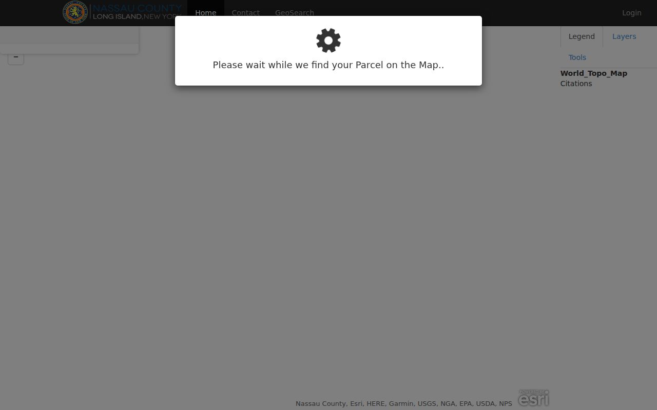
The viewer is best used as the first stage: identify a starting parcel, note the map date, and record the surrounding parcel identifiers before searching any separate record.
- Find the starting address in LRV by address, SBL, or a partial street name. Preserve the original address and the normalized search form.
- Inspect the touching and immediately surrounding polygons. Record each PARCEL or PARID, PARCEL_ADDRESS, ROLL_YEAR, and its relationship to the starting polygon.
- Retrieve every nearby parcel separately in LRV. Save its address, SBL if shown, and map or source date rather than carrying details from one parcel to another.
- Use a deed, dated directory, permit, or archival item only for the narrow association it documents. For a full named-street chain, use the Hempstead by-street directory.
Hempstead Parcel Fields for the Block
The county ArcGIS layer is useful because its geometry can be queried and it identifies PARCEL, PARCELKEY, PARID, PARCEL_ADDRESS, ROLL_YEAR, and the polygon itself. These fields make a repeatable adjacency list possible. They do not establish title, ownership, occupancy, or whether a person lives at the address. LRV’s assessment material also includes district and tax-map context, but the public result route did not expose owner names or mailing addresses in the inspected render.
That limitation is useful. It prevents a block lookup from quietly shifting from map work to a claim about individuals. When ownership must be established, use the Nassau County Clerk’s recorded instruments and review the actual image. Even then, a recorded grantor or grantee is a party to a document, not necessarily a neighbor who lived there.
Note: Record the parcel address, identifier, source date, and “adjacent parcel” status before adding any historical evidence from another collection.
Hempstead Neighbor Boundaries Need Labels
Village, Town, postal city, ZIP, and civil-service boundaries can overlap without matching. An address with a Hempstead mailing label may fall outside the incorporated Village, while nearby parcels can have different municipal or service responsibility. Use the Village or Town field for municipal questions, parcel data for land context, and postal formatting only for mail. None of those labels establishes who occupies a parcel.
This geographic distinction is especially important on a dense block. LRV can display school, police, fire, Town, County, and other district contacts, but those layers describe service geography. Confirm the responsible office before requesting a map, permit history, or municipal record.
Hempstead Community Resource Contacts
No complete official Village registry of neighborhood associations was found in the research. The Village Directory is a useful category and name search, but it does not prove that a group represents a certain block. Ask a local office for the role it actually holds, such as municipal records, local history, library collections, or assessment and map assistance. Do not label any organization as a block representative without dated official evidence.
The Village Directory search is the official starting point for a name or category, rather than a roster of neighborhood households.
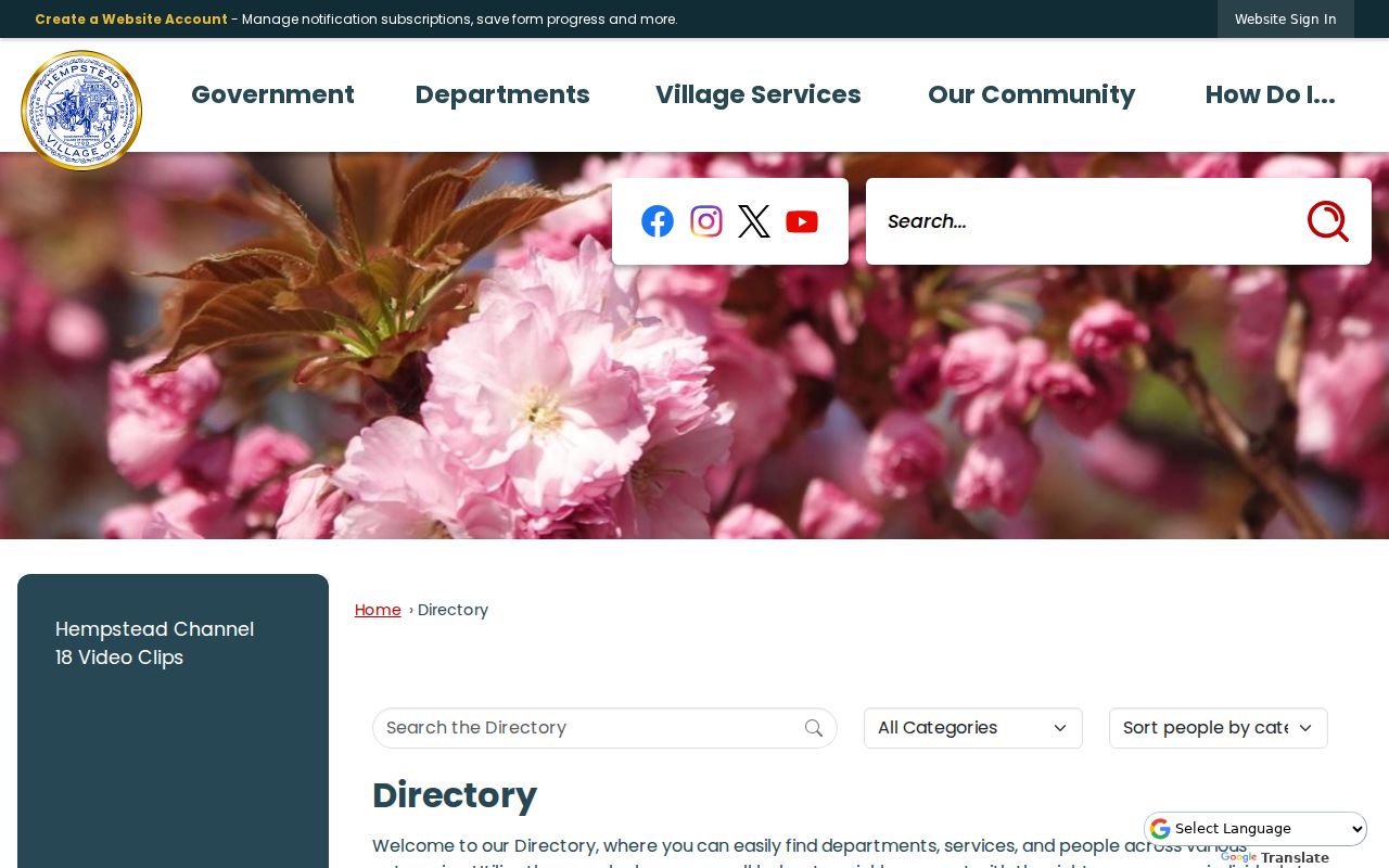
The directory can point a reader to a department or community contact, but its result should be checked for current scope and date before it is treated as a local resource.
| Local resource | Contact | Documented role |
|---|---|---|
| Village Clerk | 99 James A. Garner Way, 516-478-6202 | Village records, FOIL routing, minutes, and local legislation. |
| Village Historian | 516-478-6466 | Municipal and local-history lead. |
| Hempstead Public Library | 115 James A. Garner Way, 516-481-6990 | Local history, directories, yearbooks, and special collections. |
| Nassau Assessment | 240 Old Country Road, 4th Floor, 516-571-1500 | Assessment and tax-map questions. |
Hempstead Voter Lookup Is Not Neighbor Data
The public New York voter lookup is limited to a person’s own registration or status question. It is not a way to publish the residents around an address. Nassau and state election records have separate request routes. A statewide Board of Elections FOIL request needs a truthful elections purpose under Election Law §3-103(5), and the requested election, district, year range, and record category should be identified. That administrative route does not change the personal-use boundary.
For block research, record an election district only when the official source supplies it for a civic or historical question. Do not convert a voter lookup, registration file, or polling-place record into a neighbor list. Confidential registration has its own protected route.
Hempstead Neighbor Sources Compared
Official sources retain the purpose, date, and access limits of the record. Commercial neighbor tools may merge data from many dates and do not replace the office that created a map, deed, or local record. Compare the source type before deciding what a result can establish.
| Question | Official record route | Commercial tool category |
|---|---|---|
| Which parcels touch this lot? | LRV map and ArcGIS geometry, with source date | May display a broad area without its geometry source. |
| What is the parcel identifier? | LRV or Tax Map Division | May carry an old or unmatched identifier. |
| Was someone linked to an address in a past year? | Dated directory, yearbook, census, or archive item | May omit the publication date or source image. |
| Who held recorded title? | County Clerk document image | Does not replace the official instrument or title review. |
The block-research lesson is simple: use geometry to define the block and a separate, dated official or archival record for any stated association. If the source does not say it, leave the field unknown.
Hempstead Neighbor Privacy Boundaries
New York FOIL, Public Officers Law Article 6, §§84–90, permits privacy and safety redactions. Public availability is not a blanket right to republish sensitive details. Court files can be sealed or confidential, and a parcel or ZIP result does not permit reconstruction of a protected address. Keep source notes separate from public-facing summaries and omit full dates of birth, phone numbers, account information, signatures, medical information, and other sensitive values.
Lawful personal use. Use information about Hempstead neighbors for careful block history, civic questions, or personal research. Do not use it to watch, harass, intimidate, or expose anyone.
New York’s Address Confidentiality Program provides eligible survivors with a substitute mailing address while the actual address remains confidential except through the legal processes set by law. Never try to recreate or publish a protected location from adjacent maps, old records, or overlapping datasets.
Hempstead Block History
For a historic block, combine the parcel geometry with materials that carry their own years. Hempstead Public Library’s local-history resources and yearbooks can provide context, while city directories, census material, photographs, and map records may document a past address association. State the collection, edition or image identifier, and date. A changing street name, an OCR error, or a boundary shift can explain why a search appears to miss an address.
Use the historic tax-map and directory evidence alongside, not in place of, the current parcel result. Nassau’s historical record systems span different periods, and the county’s historic repository advertises materials from 1840 to 1982 while the current electronic land database dates from July 1992. Those dates describe access systems, not a continuous occupancy record. Search the direct and reverse record directions when a property trail crosses a year boundary, and note any unresolved spelling or parcel-number mismatch before drawing a conclusion.
Historical material is best used to tell the narrow story it supports: a building, street, organization, or documented household at a stated time. Present-day claims need present-day, independently verified evidence, and a no-hit should remain a no-hit for the source and date range searched.